
DAY FOUR:
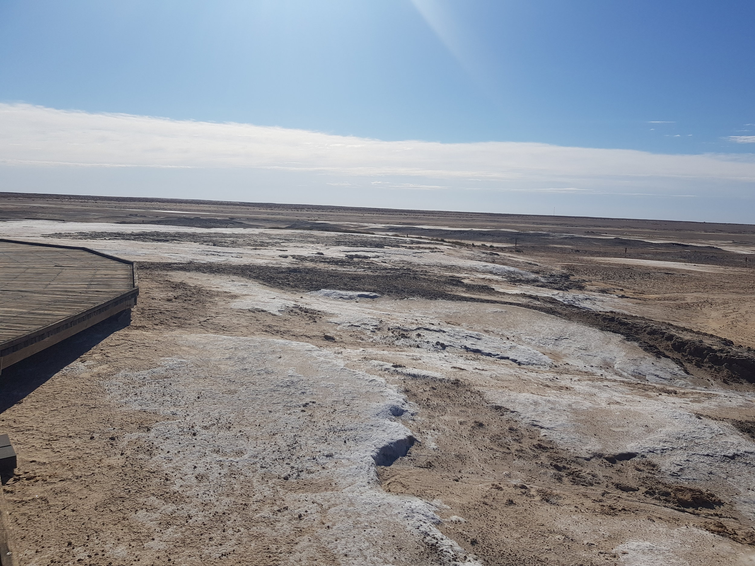
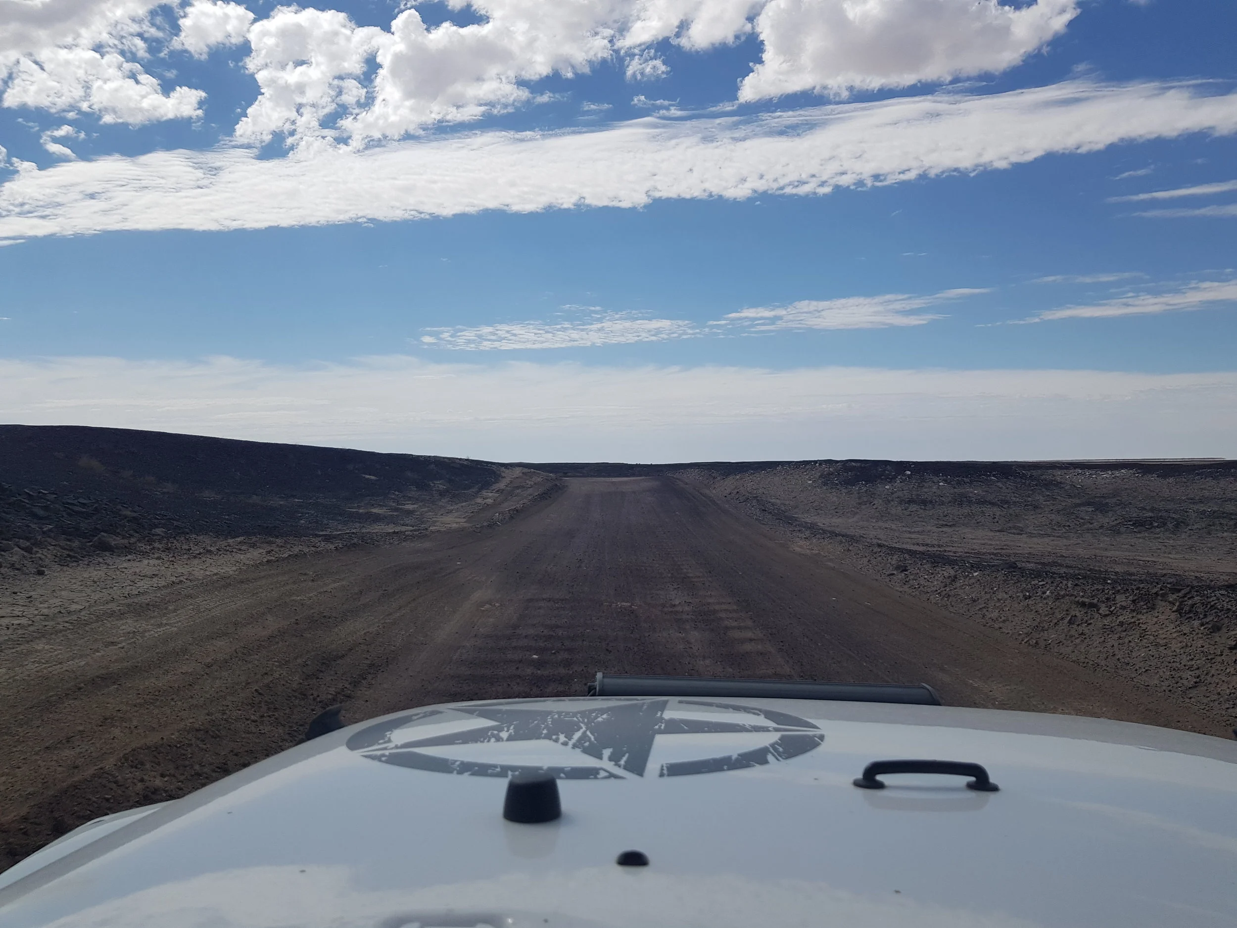
We were on the Oodnadatta track by 7am next morning - the sky was reflecting the colours post sunrise - ideal to capture those picture perfect shots! The track itself is pretty well maintained and has a number of interesting stops along the way. Our first stop was at the lookout Pelican Point, Lake Eyre South. This stop allows for photos and access to walk on the south side of the lake itself, which at most times, is a dry salt pan.

Lookout Pelican Point, Lake Eyre South
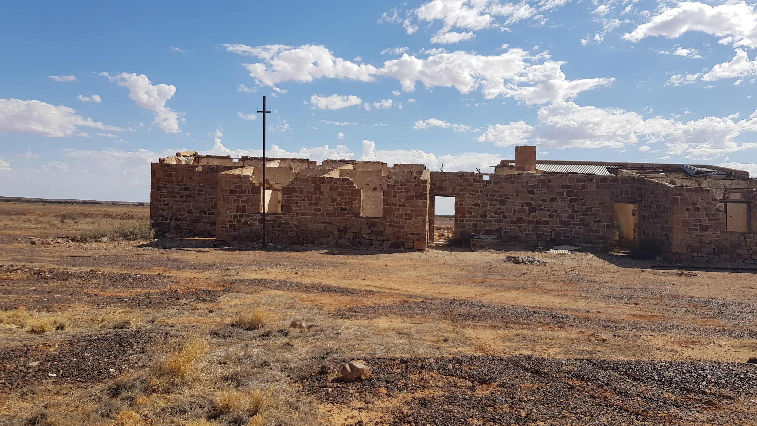
Some other key points of interest were Curdimurka Ruins, The Bubbler and Blanche Cup, Coward Spring. According to the sign on site, the Curdimurka ruins date back from 1888, this station yard is the last intact on the old Ghan Railway. "Local Aborigines believed that a giant snake named Kiddimuckra lived nearby Lake Eyre. They avoided traveling along the shores of the lake, and when many viewed the approaching Ghan for the first time they fled" .
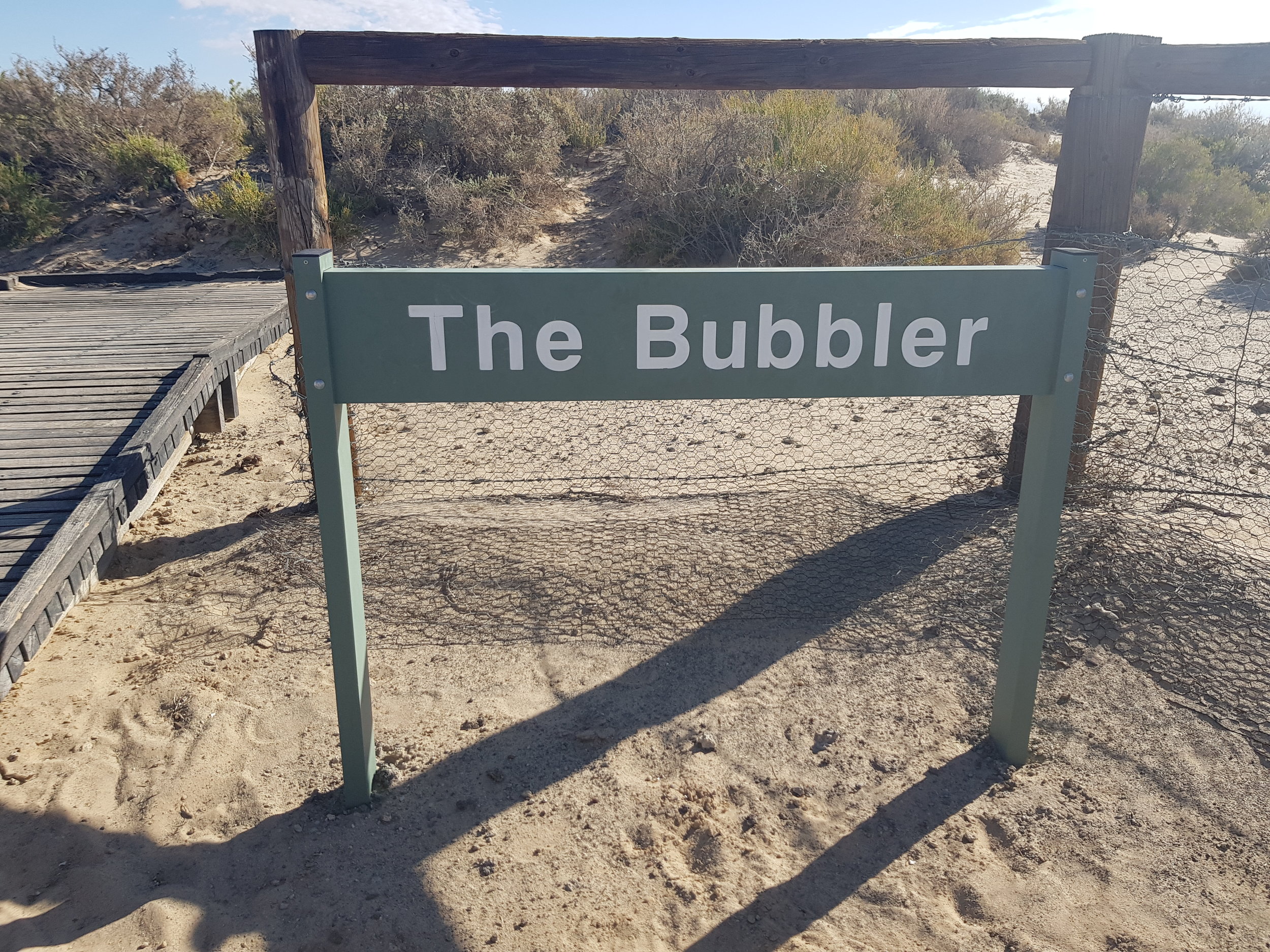
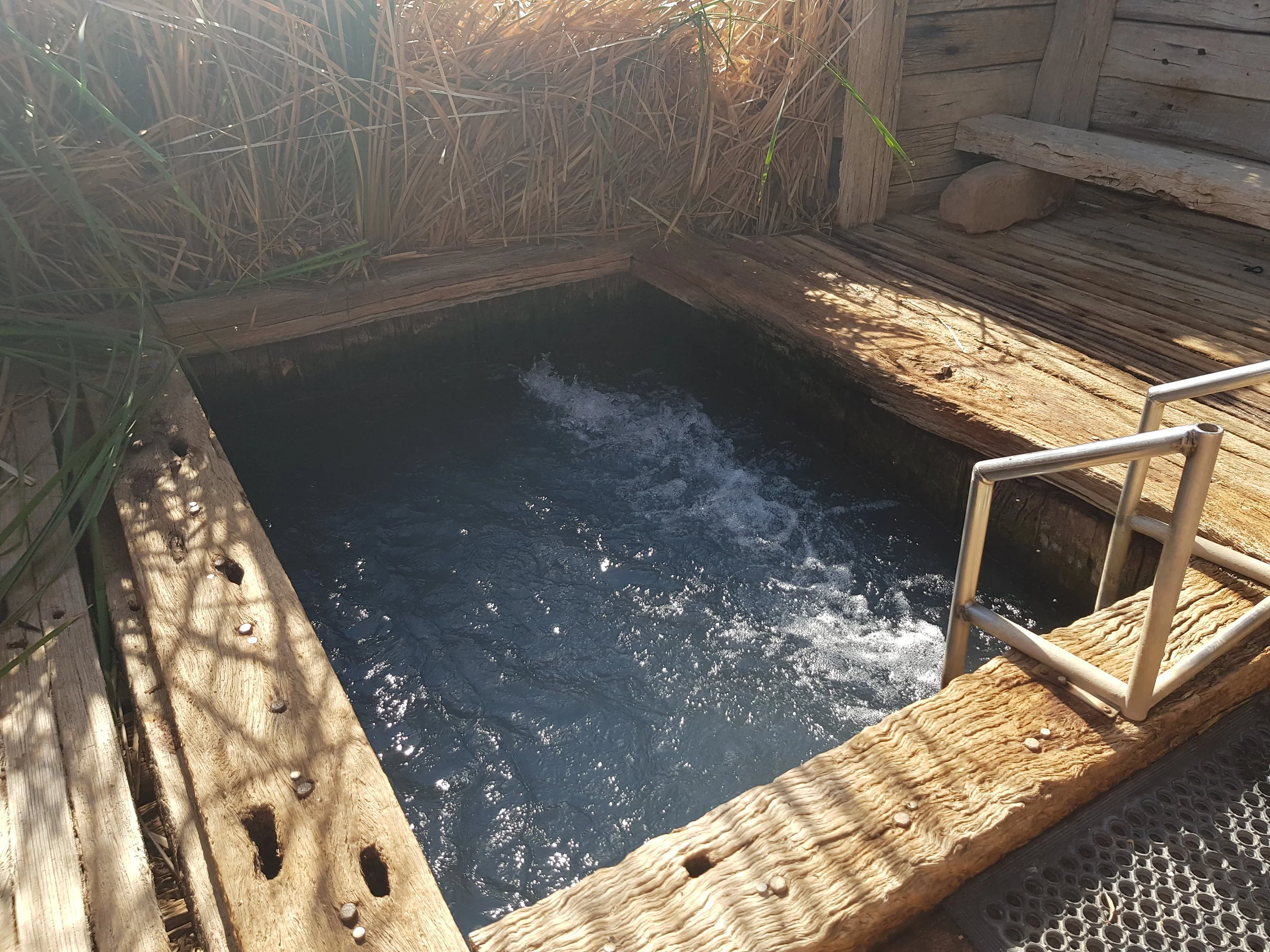
The Bubbler an island which consist of a mound spring, locked by surrounding land. The Bubbler " has the highest discharge of any individual spring in the Lake Eyre Supergroup. The spring is called 'The Bubbler' because it has been known to 'erupt' every so often. Previously it was reputed to rise 3-4 feet into the air, before current extractions rates of water."
(https://www.ausemade.com.au/photos/sa/oodnadatta-track/oodnadatta-track-7-blanche-cup.htm)
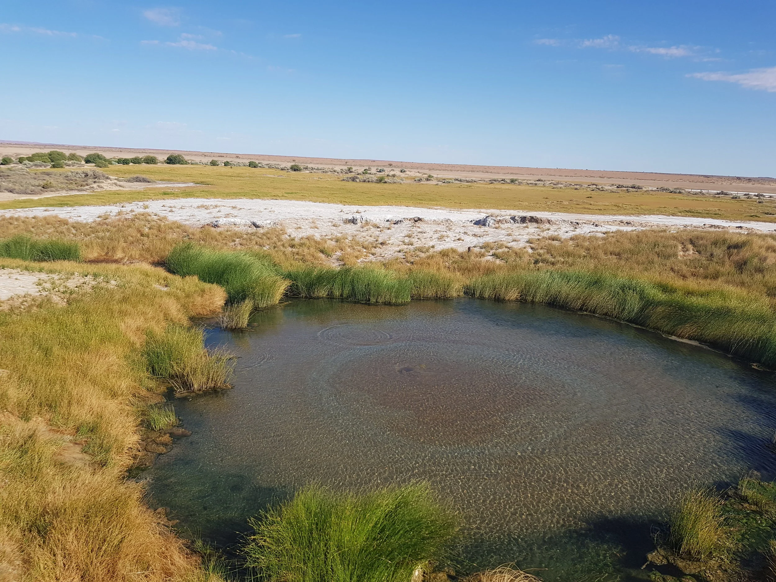
The Bubbler
Coward Springs - privately developed camp ground.
After 250km North West, we reached the turn off just before William Creek - 60km of well kept track toward Lake Eyre North - access point to Halligan Bay and ABC Bay. Halligan Bay is recorded at being the lowest point in Australia at 15.2m below sea level. Majority of the track was corrugated making it a more rougher ride. The scenery was however well worth the tour. The landscape changed from pitch Black toward the view of glaring white salt lake. The Lake was not full, although some tourists did comment that we witnessed the lake before the waters reached- apparently 15km away from the North!

On our way to Lake Eyre, North side
We continued North West on the Oadnadatta track, where ruins of the Old Ghan Railway follow alongside. The Algebuckina Ruins stop was ideal for those wanting to take pictures on the railway itself.

Algebuckina Old Ghan Railway Bridge
Algebuckina Siding ruins
After approx. 500km (from Marree including Lake Eyre drive) - we reached the Pink Roadhouse, where we had dinner and stayed the night. We made sure not to miss a sunset, so it was perfect place to just hop in the car, drive out onto the track and wait for that picture perfect moment.

Sunset, Oodnadatta (near Pink Roadhouse)