4X4

AFTER THE FIRES: THE LOST CITY & NEWNES

84208145_10158377035132125_989805097745645568_n.jpg

We managed to get out and about this Australia Day weekend and witnessed the devastating impact the fires have had around the Blue mountains, Lithgow and Wolgan Valley regions.

The severity of the fires was clearly evident from Wentworth Falls and Evans Lookout - where most areas, particularly the valleys were struck hard.

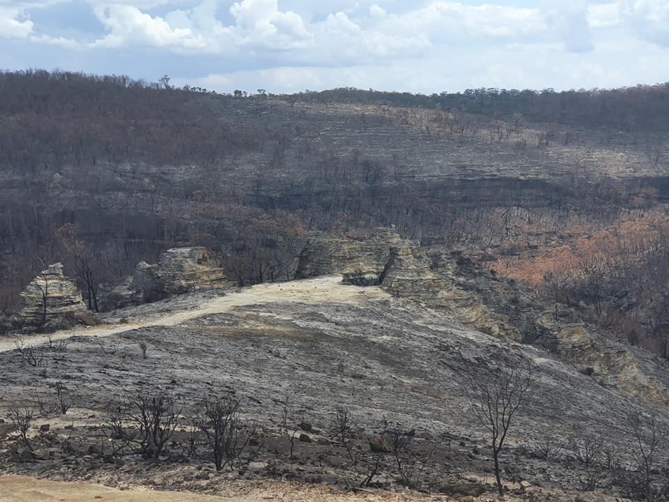
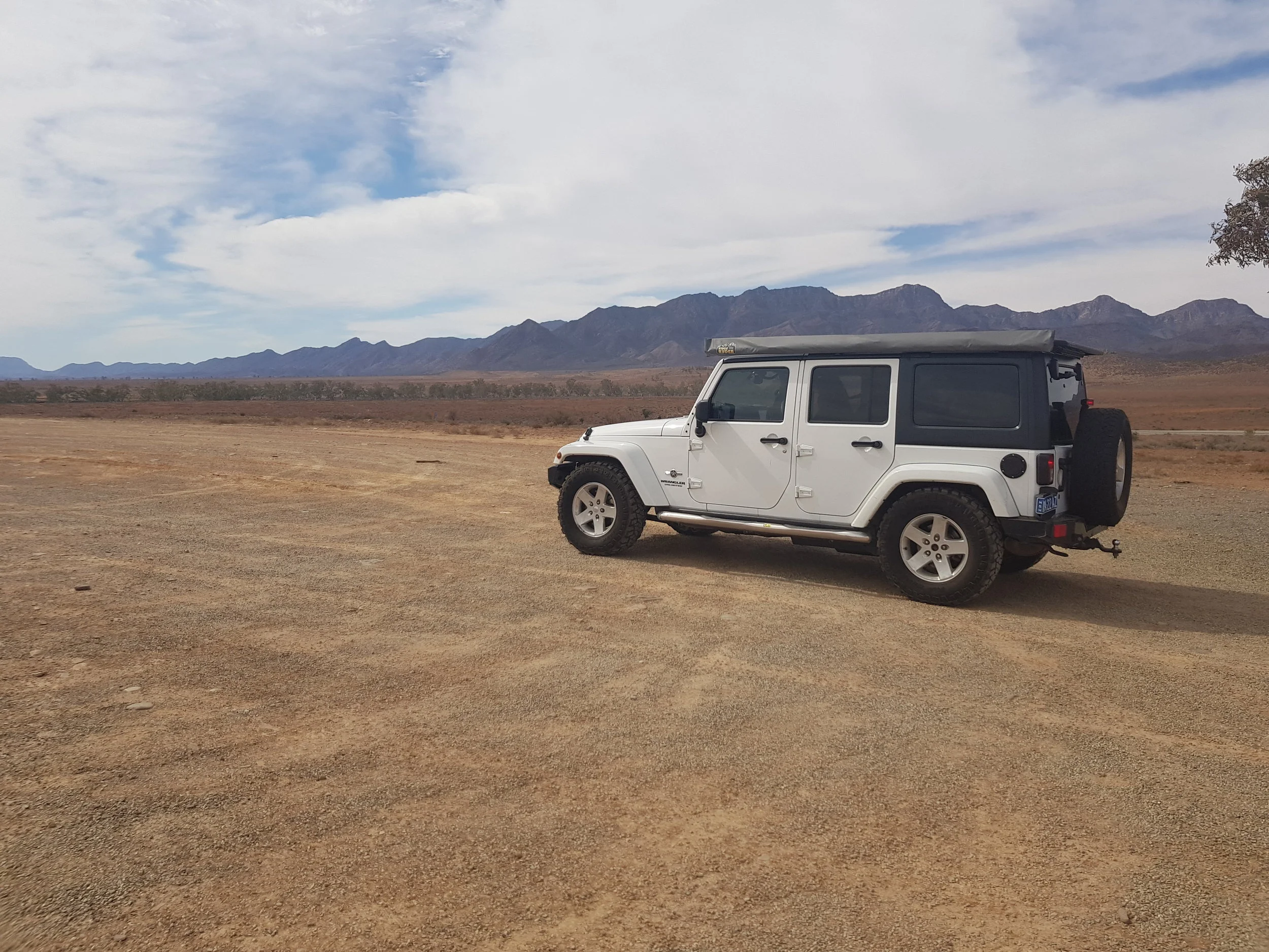
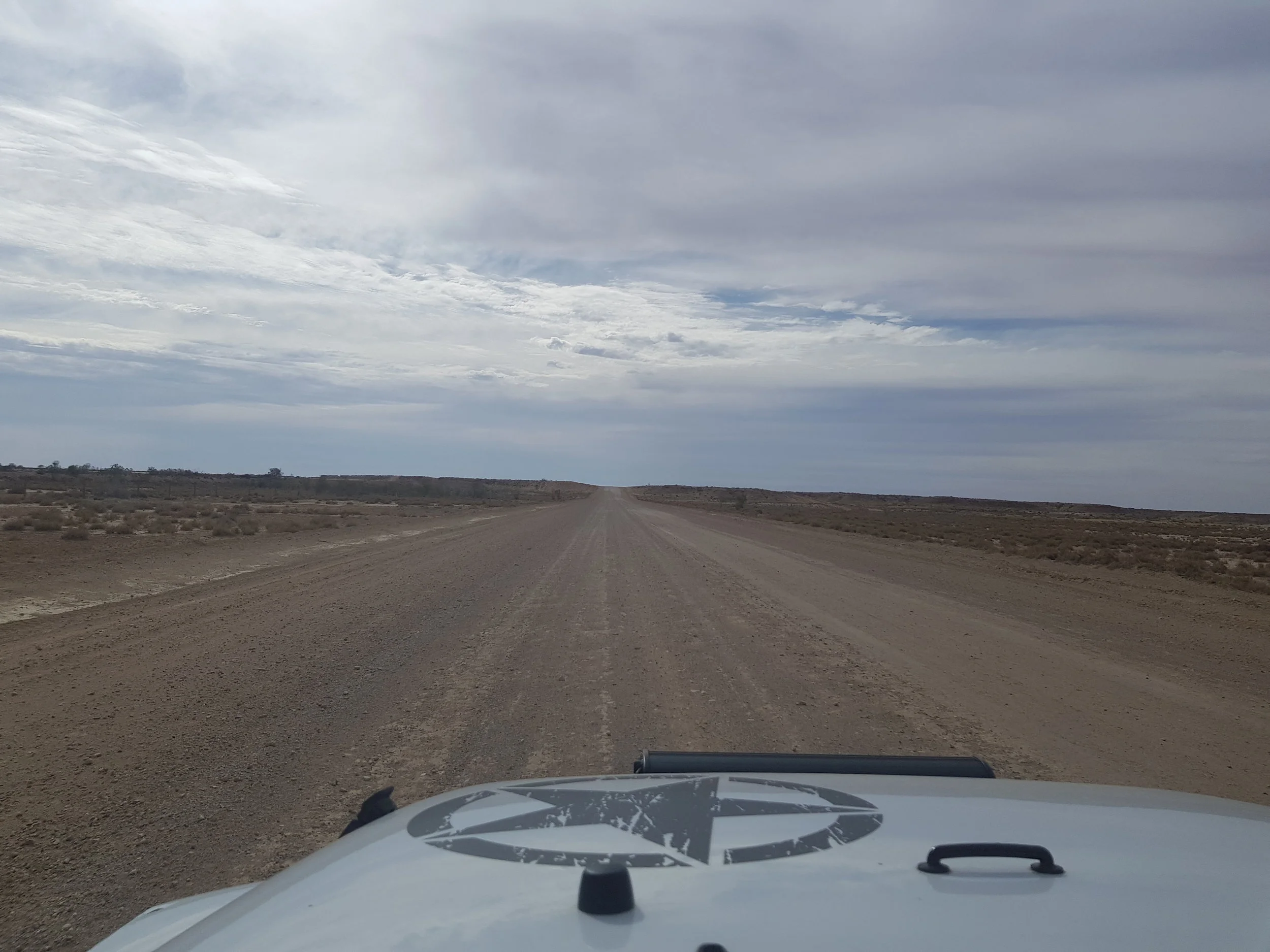
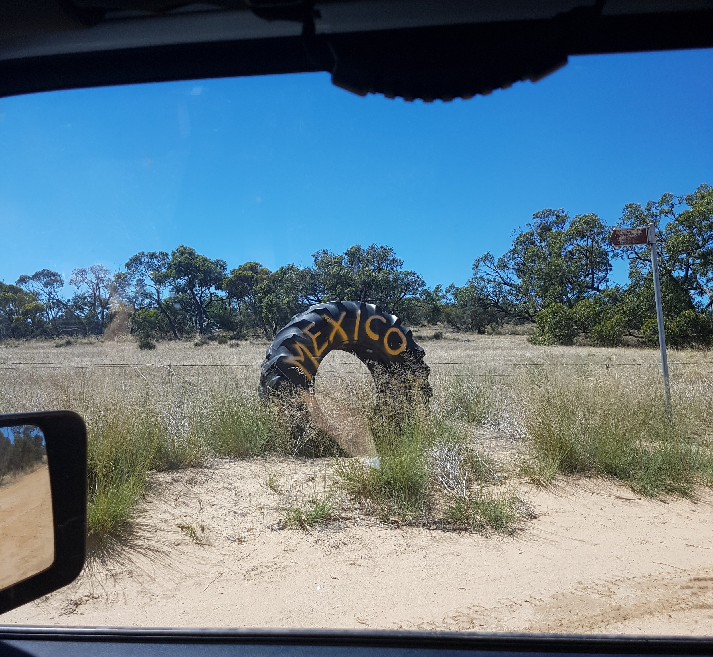
The drive along Wolgan Rd (Newnes State Forest) not only highlighted the devastating impact of the fires, but also the lack of wildlife. The Bush that was once so dense and now sparse offers no food or housing for the wildlife that now remain. This was probably one of the only trips where we witnessed lack of wildlife.

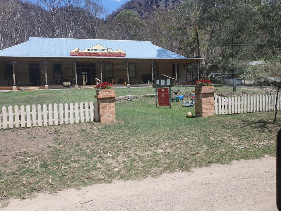
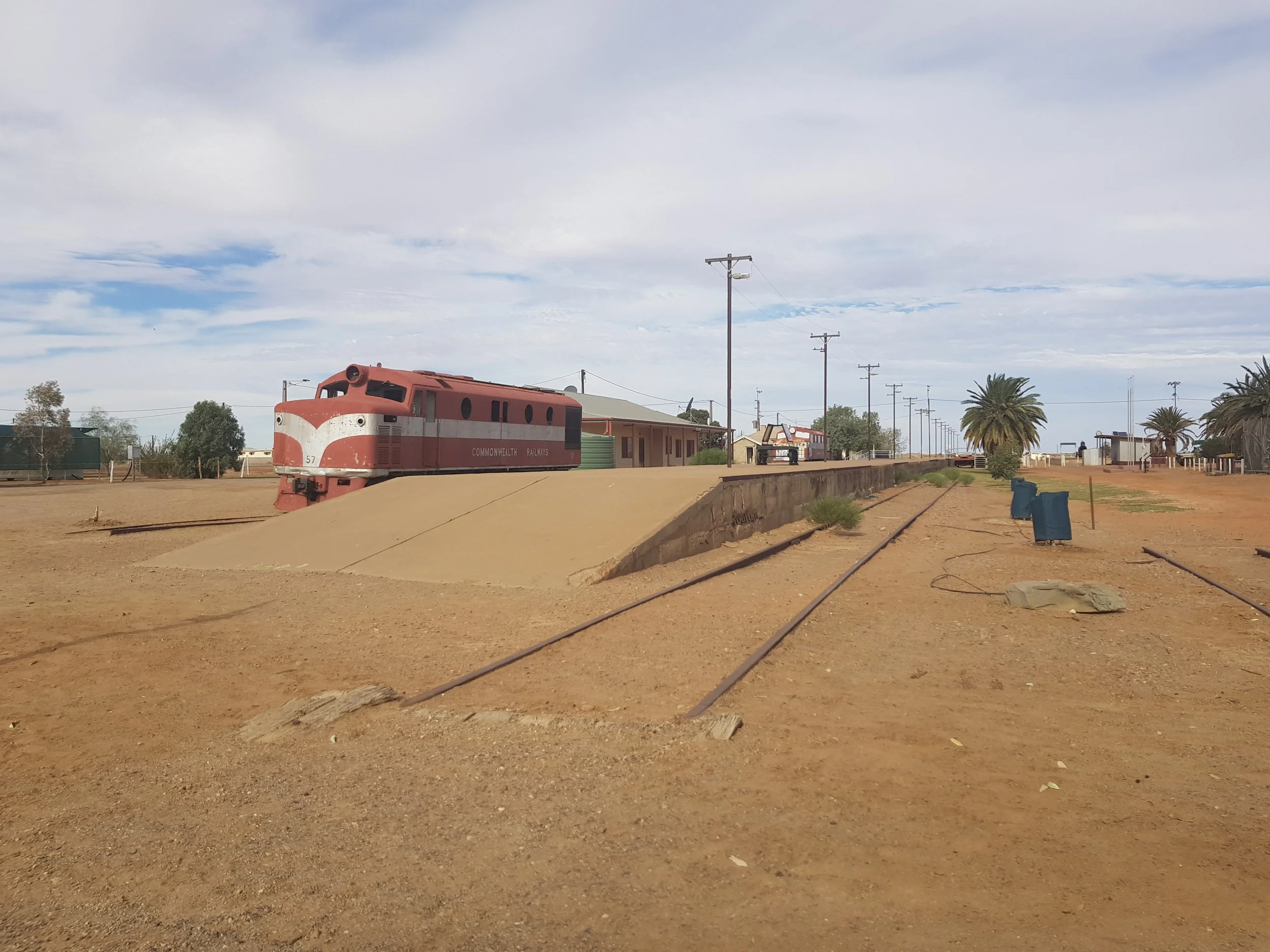
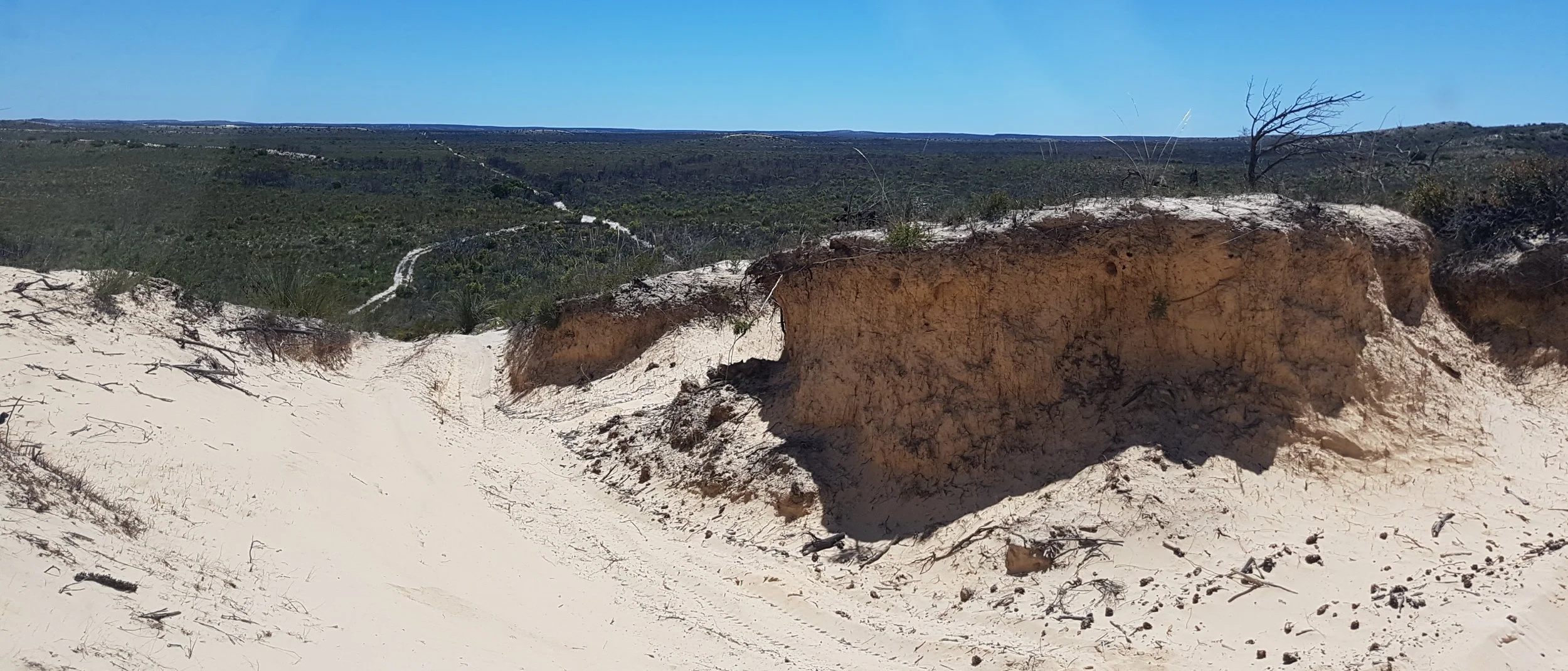
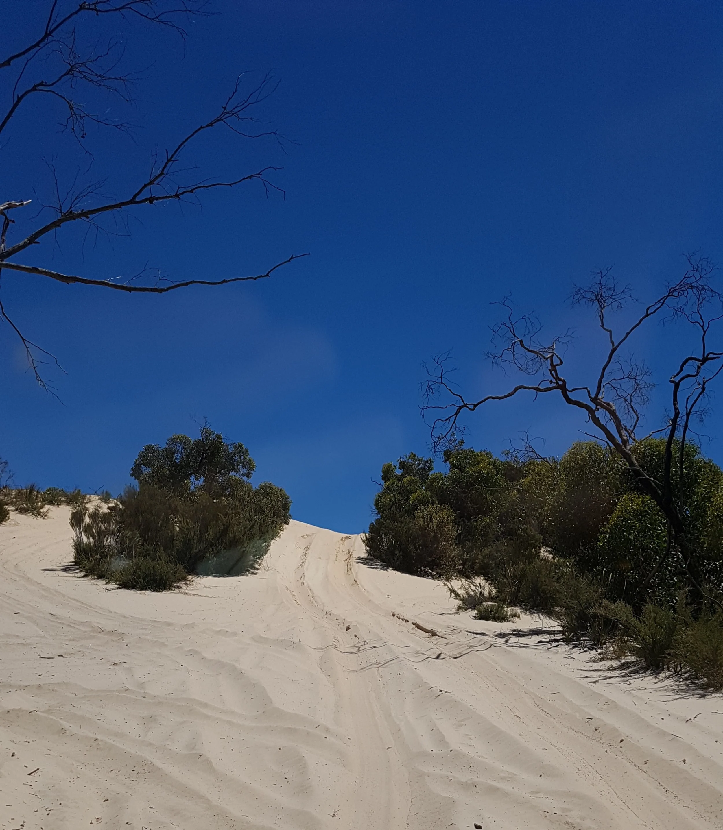
The eerie landscape does however, offer signs of hope, with most trees and shrubs already regenerating - with the sight of green sprouting along the charcoal tree trunks. The 4WD trip also provided the opportunity to see popular structures like the Newnes Hotel and ruins that were thankfully saved.

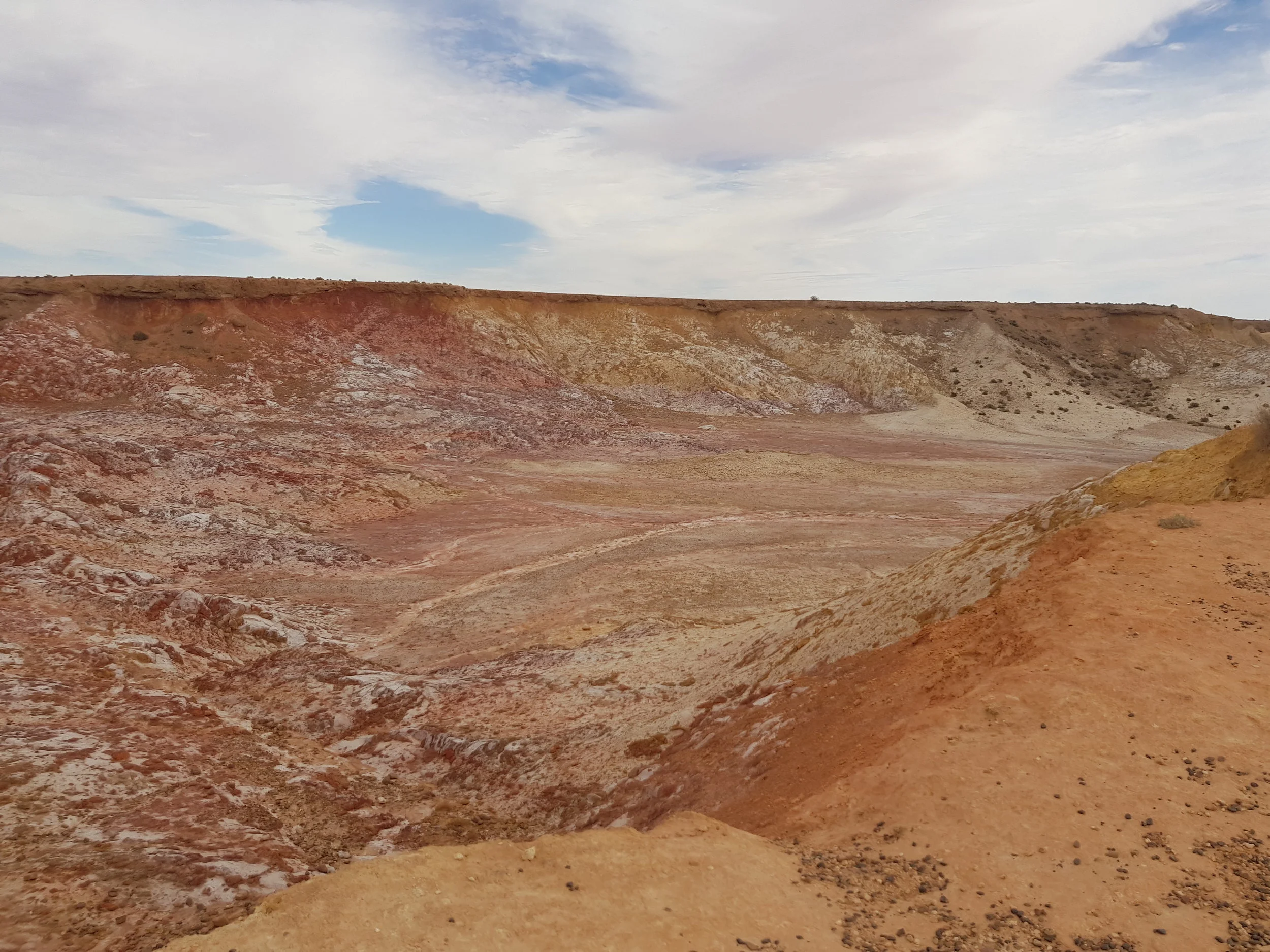
The tour ended with the magical scenes of The Lost City - LITHGOW. (The Glow Worm Tunnel tracks are still closed.)

Despite the Wollemi National Park being closed this summer, some tracks have reopened. The drive via the Blue mountains also allows a few stop overs. #helpsupportlocalbusiness

On this journey, we witnessed the impact of these fires - parts that were then dense are now sparse scenes bushland consisting of charcoal stumps and red leaves. We are truly appreciative of all the efforts the RFS have provided - who have worked tirelessly for weeks fighting to contain these fires and continue to do so in many other regions of the country.

Wentworth Falls  Evans Lookout, Garden of Stone National Park and Newnes State Forest - ending at THE LOST CITY rock formations.


PART I: On the way to Uluru: Mudgee, Broken Hill, Marree

DAY ONE -

Our first stop was Mudgee, small trip from Sydney where we stayed overnight at a cabin and headed off the next morning to Broken Hill.


DAY TWO - From Mudgee, the trip to Broken Hill was 849km - it took us a little over 9 hours via main roads, passing main towns Dubbo, Nyngan, Cobar and Wilcamnia. Highlights of the trip were the comical signs regarding a town called Warren - a small town before Nyngan; and the changing scenery from green grass and bush to the red rugged harshness of the outback.

Phenomenal views on the way…

Phenomenal views on the way…


A short detour at Cobar to Fort Bourke lookout, worth the stop - where you will see an open cut active mine with a viewing platform to take some great snaps.

Fort Bourke Lookout

Fort Bourke Lookout

Our only other stop was in Cobar to refuel our tanks, and arrived at Broken Hill, there was time remaining to see The Living Desert Reserve, 9km from the City of Broken Hill - where you can visit the sanctuary and 'gain close access to outback plants and animals while understanding the regions Aboriginal heritage and the importance of preserving this environment for future generations’. After a nice walk along a trail among the plants, we managed to witness a Shingleback lizard walking along the road into the bushes.

The Living Desert Sculptures

The Living Desert Sculptures

Children excited over the Shingleback!

Children excited over the Shingleback!


DAY THREE - The next morning we entered South Australia and continued along the Barrier HWY towards Peterborough (formerly known as St Petersburg). We stopped at Peterborough to buy more food supplies and then turned right on the B56 and then on the B80 - headed North to the next stop - Marree. Although it was a very long straight road, we followed views of the South Flinders Ranges. The rugged terrain of the Ranges were best seen from a rest area provided by a local property around 10km south of Parachilna. Flinders ranges National Park is best accessed by Brachina Gorge Road - there are other access points and many wonderful tracks however, unfortunately we did not have time to discover Flinders Ranges National Park!

View of Flinders Rangers from rest stop area

View of Flinders Rangers from rest stop area

Peterboroug Stop

Peterboroug Stop

Continuing up North, the landscape transforms into a more flat, white arid terrain and as we pass Lyndhurst, we turn left at Ochre Cliffs- an Ochre being an important resource for Aboriginal community re trade and has cultural significance (the small cliffs are 1km in). We returned on the Outback Hwy heading towards Maree. Once in Maree the beauty of this country town is prominent - with the old railway trains on display upon entry and the infamous Marree Hotel - which is ideal for a hearty dinner or stay. On this particular night we decided to reside at the Oasis Caravan Park - lovely owners and simple cabins for a quick stay.

Ochre Cliffs

Ochre Cliffs

On the way to Marree…

On the way to Marree…

Marree

Marree

Marree

Marree

STOCKTON BEACH, NEWCASTLE - NSW

FB_IMG_1512077924425.jpg


Stockton Beach is located north of the Hunter River in New South Wales, stretches from Stockton to Anna Bay and is 32km long. Stockton Beach provides awesome scenery including the Sygna Shipwreck. The 53,000 Norwegian bulk carrier Sygna became stuck in May 1974 during cyclonic conditions. After repairing holes in the stern, a Japanese salvage team refloated the bow to Taiwan and broken up for scrap. They were, however, unsuccessful with the Stern, which remains wedged in the sand on Stockton Beach. 

NORWEGIAN SYGNA SHIPWRECK

NORWEGIAN SYGNA SHIPWRECK

                                                                                                         A great day or weekend to spend with family or friends – Other areas of interest are the fishing huts located behind the dunes – called Tin City  - along with Pyramid-shaped Tank Traps which were placed along the beach to prevent enemy landings. 

TANK TRAPS 1946  (REF - Newcastle Herald – 15 May 2015)

TANK TRAPS 1946  (REF - Newcastle Herald – 15 May 2015)

Recovery equipment is a must with soft sand and plenty of fun driving on the dunes - an ideal 4x4 track for the family. There are permits required to access the beach and designated camping and 4WD areas with plenty of information available online.


DRIVING ON THE SAND DUNES

DRIVING ON THE SAND DUNES

20171201_082907.jpg

THE BORDER TRACK - SA/VIC

The Border Track

An interesting and very lumpy track is THE BORDER TRACK – paralleling the Victorian and South Australian border heading north, the Border Track offers spectacular scenery for the ultimate 4WDriver! This particular trip was done in January 2017  - southern end of the track. A detour was made which led through to THE BIG DESERT and MURRAY-SUNSET NATIONAL PARK. Extra supplies of food, water, fuel and recovery equipment were carried due to the remoteness of the location. 

The Border Track SA/VIC


If you are keen on a very bumpy ride - this track is for you! Self-sufficiency is a must especially with soft sands and being a remote location - For more information about the track visit: https://www.environment.sa.gov.au/parks/find-a-park/Browse_by_region/Murray_River/ngarkat-conservation-park.


the border track